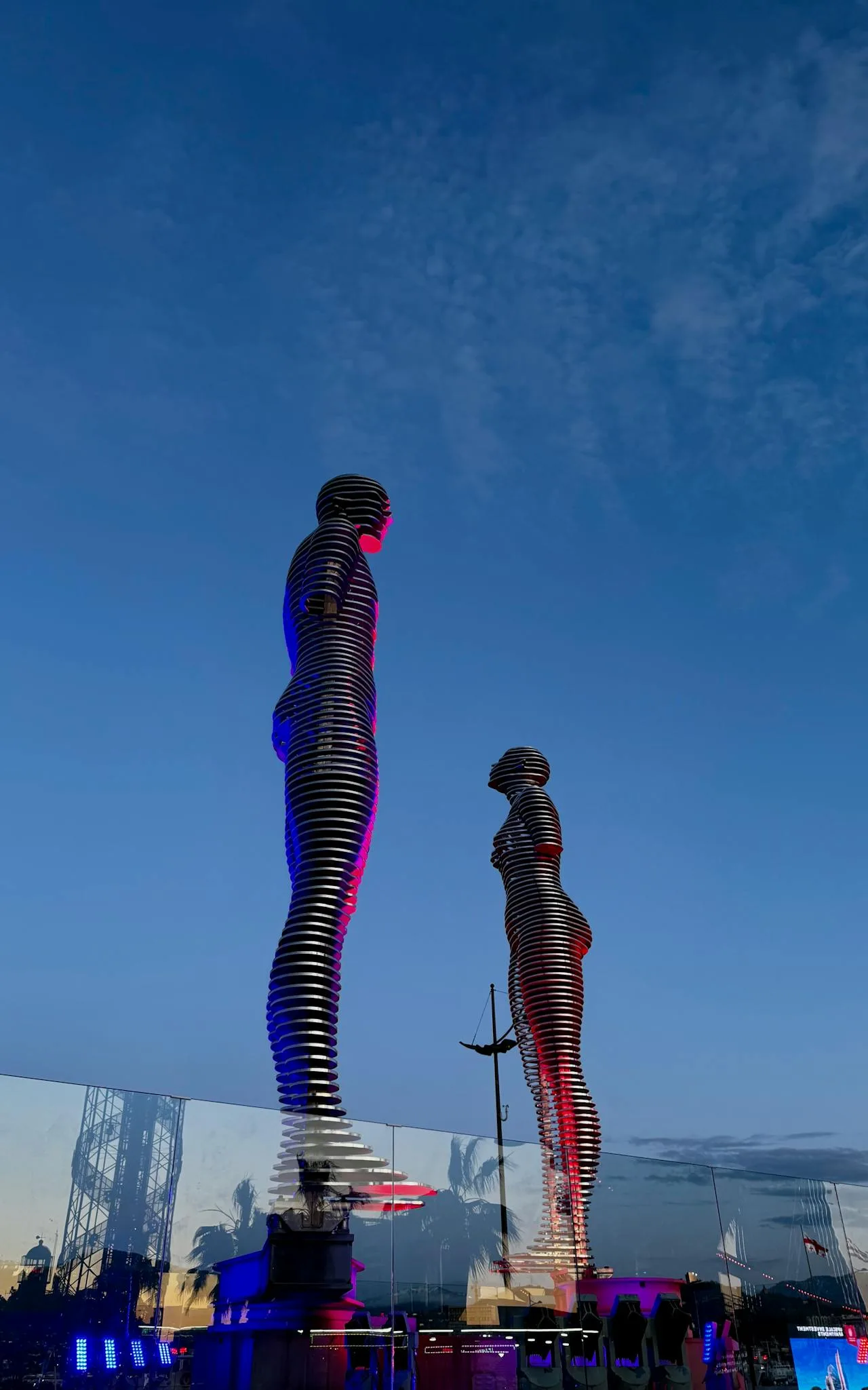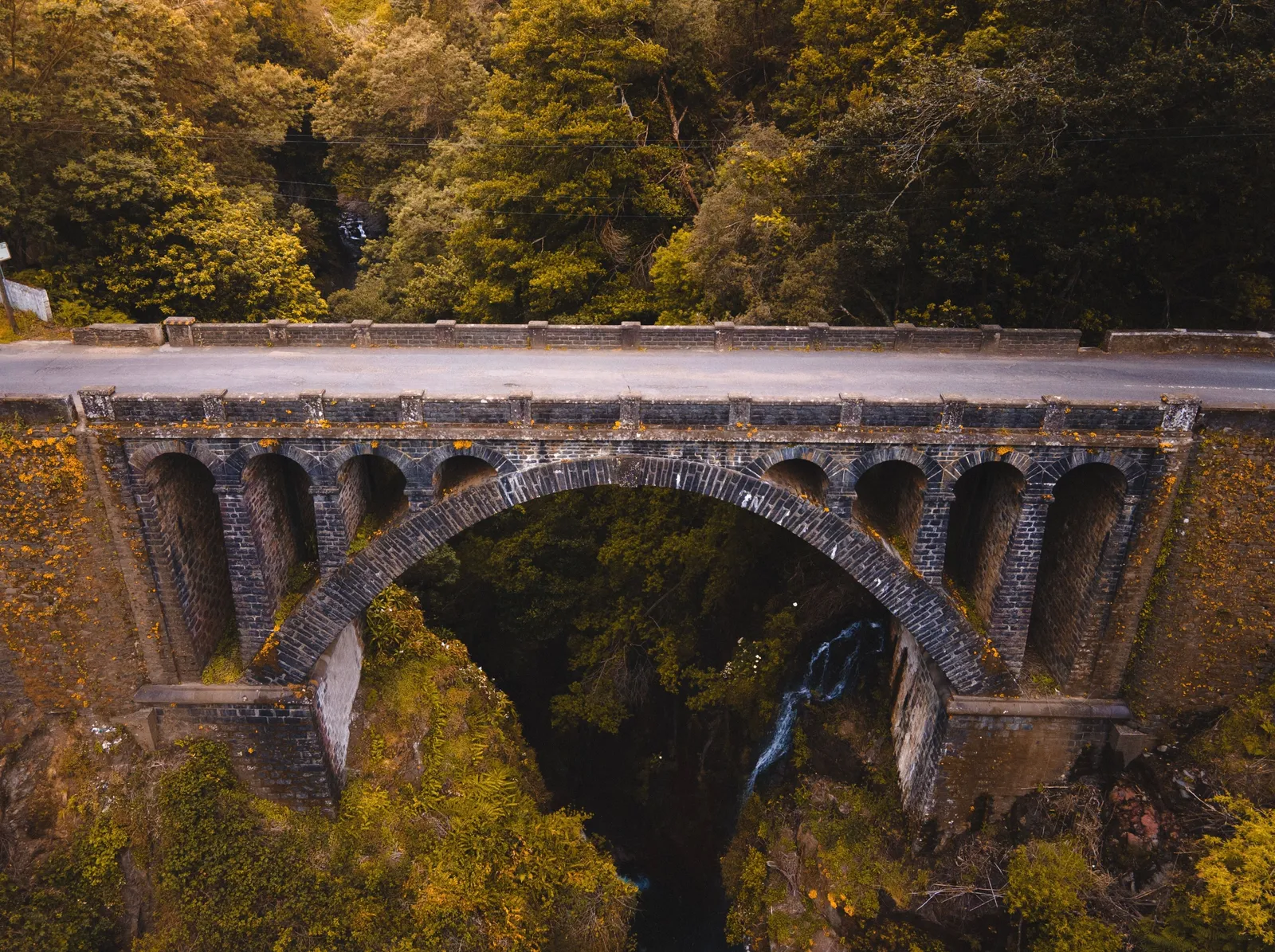
Batumi is a beach city with palm trees, casinos and a skyline, and it sits at the bottom of a mountain region that almost none of its visitors ever see. Follow the river inland and within an hour the subtropical coast has become forested gorge, with arched stone bridges built centuries ago still standing over the water, wooden houses on the slopes, and a road climbing towards a pass at the top with high pasture on either side of it. It comes out on the far side in southern Georgia, which makes it a genuine route rather than a dead end, and it is one of the least travelled good drives in the country.
What is up there
The stone bridges, arched, single span and old, several of them still in use on foot.
Waterfalls, some beside the road and some a short walk from it.
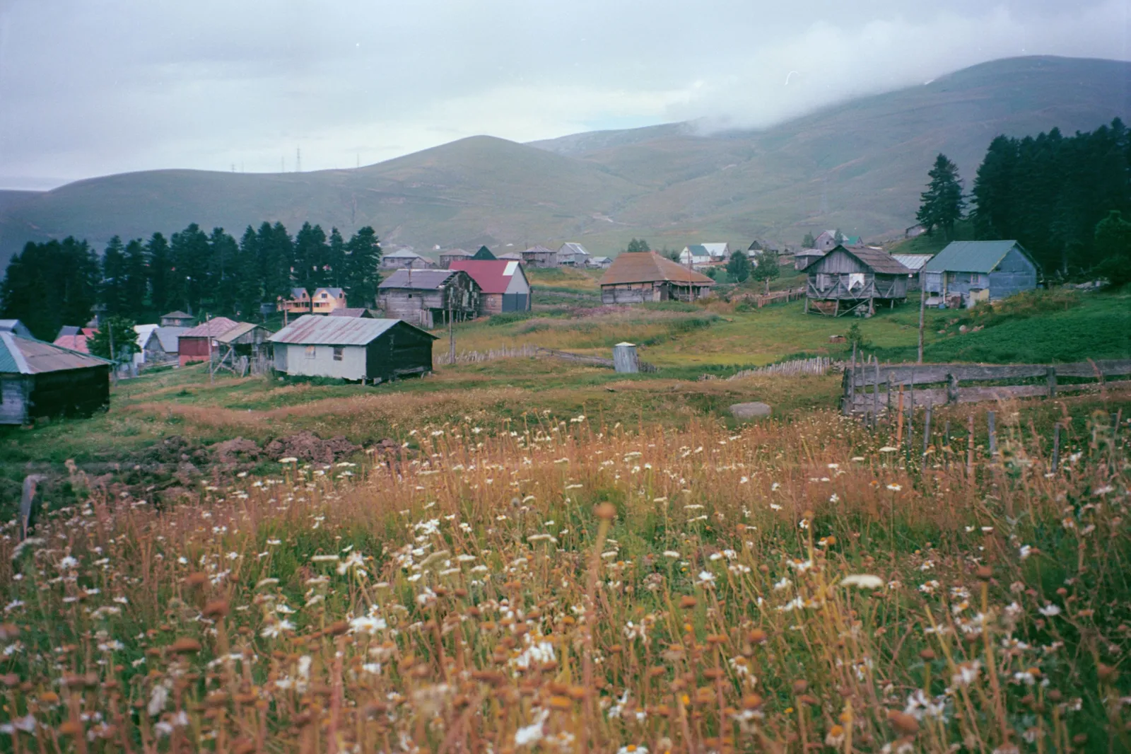
Wooden mountain houses with steep shingled roofs, which are the regional building style.
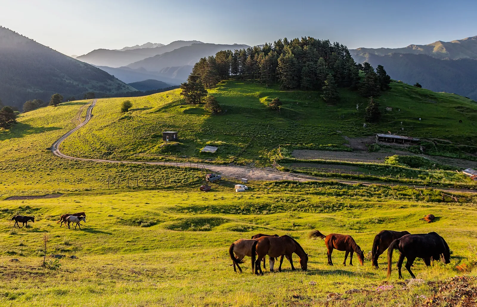
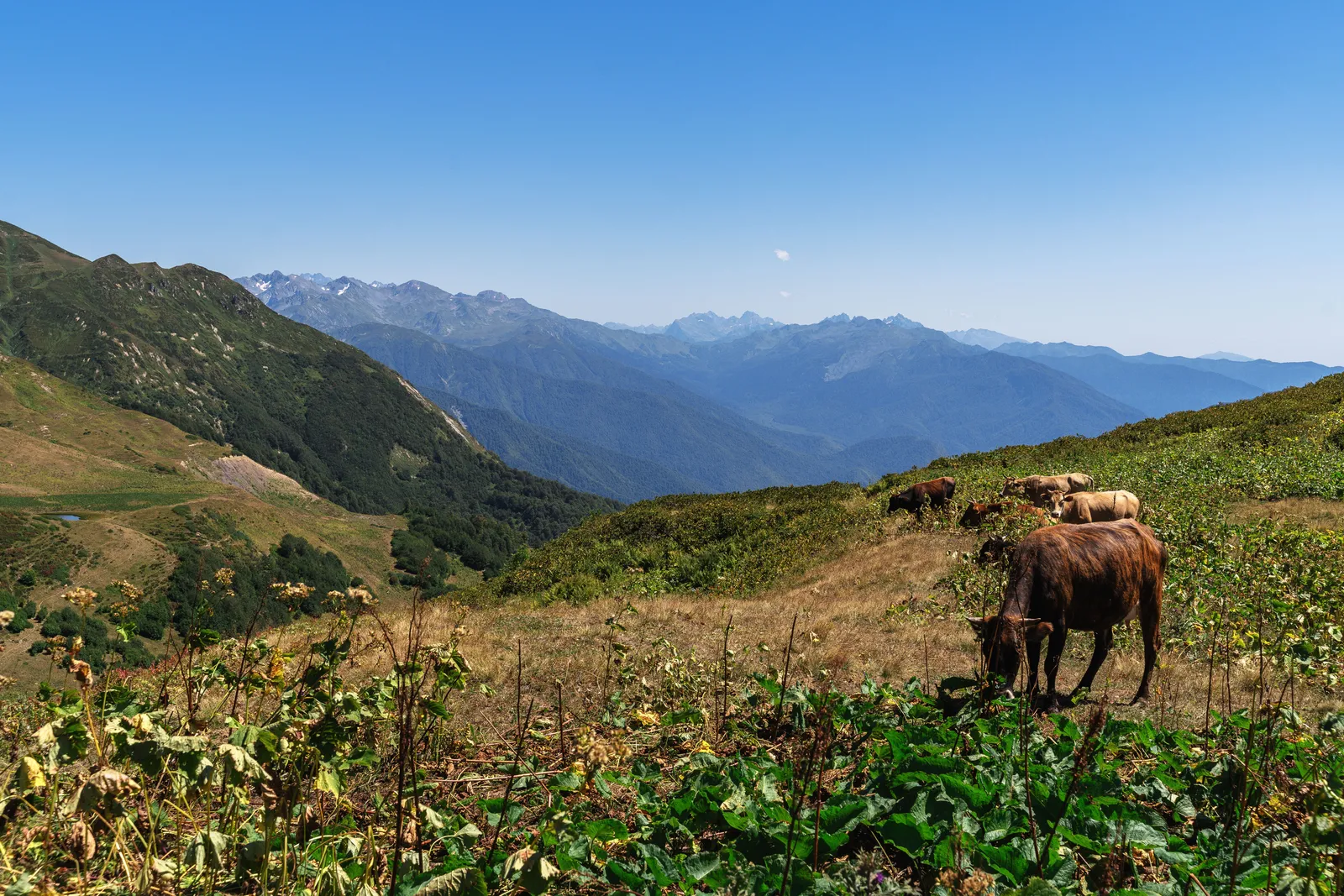
High pasture near the pass, used in summer and empty the rest of the year.
A ski area at the top, small and developing, which is the winter version of the same place.
And almost no other visitors, which is the part that surprises people.
The road itself
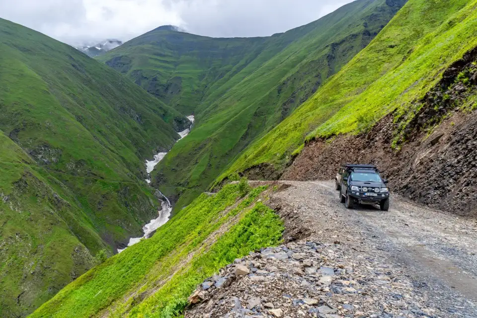
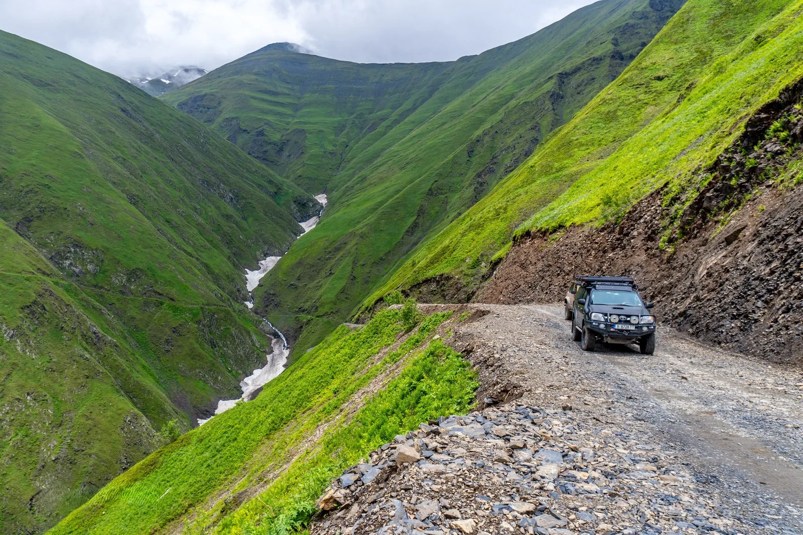
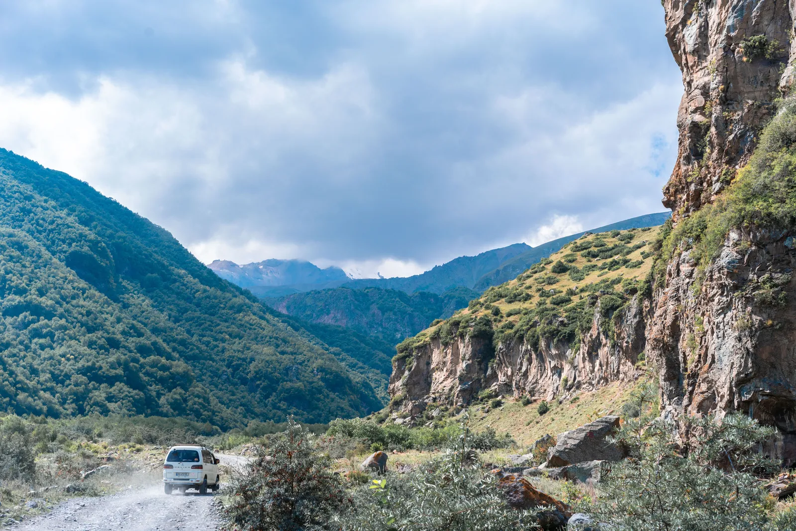
Paved in the lower valley, and unpaved for long stretches higher up.
Under improvement for years, so the proportion changes and local information beats any map.
Slow, at a speed that makes the distance misleading.
Narrow with drops in the upper sections, though nothing like the passes in the north east.
Open reliably in summer, unreliably at the edges of the season and not in deep winter.
A through route, coming out towards Akhaltsikhe and the road to the cave city.
How to do it
Give it a full day from Batumi, or two with a night in the valley.
Start early, because afternoon weather in the mountains here is a real thing.
Take the side turnings, since the bridges and waterfalls are not on the main road.
Check the road condition locally on the morning, especially outside high summer.
Fuel up in the valley rather than assuming there is more further up.
Cash, because the villages do not take cards.
What to expect from the weather
Wet, as a general rule, since Adjara is the rainiest part of Georgia.
Cloud in the valleys in the morning, often clearing by mid morning.
Genuinely cold at the pass even when the coast is at beach temperature.
Rapid changes, with the difference between the two ends of the road measured in seasons rather than degrees.
Snow at the top well outside winter.
So take a layer, which visitors coming straight from the beach almost never do.
Where this fits in a Georgia trip
One or two days out of a Black Sea stay, or the scenic half of the journey between the coast and southern Georgia.
For the city at the bottom of the road and what to do with the rest of the stay, our Batumi guide covers it.
For the vehicle this road actually wants and what the agreements exclude, our car rental guide covers the ground.
And for the other regions that reward this kind of effort, our off the beaten path guide covers the four.
The short version
Take a car or a driver, give it a whole day, and start early. Turn off the main road for the arched stone bridges, which are old, unmarked and the best thing up here. Expect unpaved sections in the upper half and check the current condition locally rather than from a map. Carry a layer, because the pass and the beach are two different climates an hour apart, and carry cash, because the villages do not take cards. If you are using it as a through route to southern Georgia, split it with a night in the valley rather than driving it against the clock.